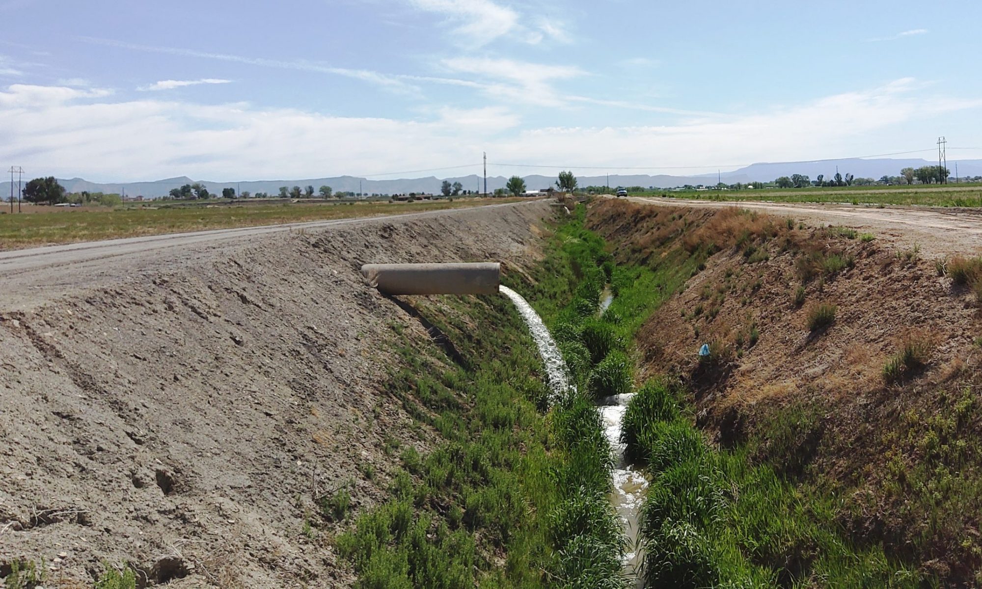
This map shows the GVDD boundary, all GVDD facilities, all GVDD easements, and property parcels within the District. The map can be searched for- parcel address, easements by their reception #, GVDD drains by their name, and Road intersections, (e.g.- 23 Rd : G Rd will zoom the map to that intersection.). The map also has numerous other tools found on the upper right of the toolbar.
Use this map tool to search for the irrigation provider, (district), based on an address lookup. All Mesa County addresses will search but only the irrigation providers in the Grand Valley floor are supported. Results do not guaranty service from that provider.
Useful Map links;
Mesa County’s GIS viewer (Includes useful survey, engineering, subdivision and other information.)
Grand Junction’s City GIS map (Includes information on Storm Sewer, and Drainage and Irrigation – Utilities Map)
City of Fruita GIS map